Elevating Field Measurement
Experience the benefits of accuracy, efficiency, and immersive visualization through our comprehensive reality capture services.
Sharper Insights, Smarter Planning.
Services
LiDAR Capture
Leverage the unparalleled accuracy of LiDAR scanning to eliminate manual laser measurements. Be it renovations or land development, we've got your every need catered to with precision.
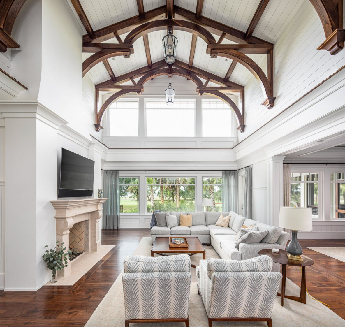
Virtual Tours
Experience a new dimension in property exploration with our virtual tours, offering immersive, 3D walkthroughs that bring every detail to light, making remote viewing a captivating and interactive journey.
Floor Plans
Unlock the future of spatial planning with our digitally generated floor plans, offering a seamless blend of accuracy and visual appeal, paving the way for informed decisions and stellar project executions.
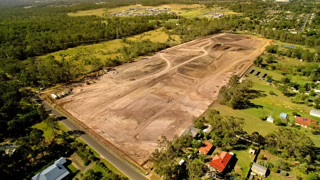
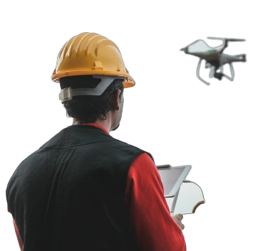
Drone Solutions
Employing high-resolution imagery coupled with LiDAR, we cater to diverse needs, from property visualization and terrain mapping to project documentation, ensuring our drone capabilities deliver profound outcomes.
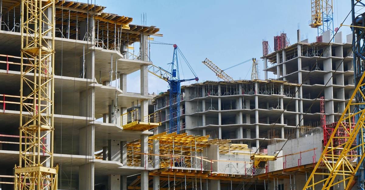
Construction Progression
Capture every milestone with our construction progression photography services, offering you a dynamic visual narrative that showcases your project's evolution with stunning clarity and professional insight. We document your project from start to finish.
BIM Modeling
Our Scan to BIM services offer a paradigm shift in the realm of construction and design. By seamlessly transitioning from detailed scans to comprehensive Building Information Modeling (BIM), we bridge the physical and digital realms of a project